|
Map Examples Maps for Genealogy! Surnames shown on most maps!
Zoom in below to view a sample map!
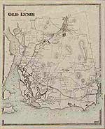
Old map of Old Lyme, Connecticut, 1868 (Click on Old Maps of Connecticut to order)
Old map of Old Lyme, Connecticut, 1868 (Click on Old Maps of Connecticut to order)
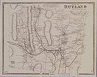
Old map of Rutland, Vermont, 1869. from the Atlas of Rutland County, by Beers, Ellis & Soule.
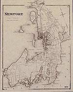
Old map of Newport, Rhode Island, 1870 from D. G. Beers Atlas of Rhode Island
1892 Map of Bedford, New Hampshire
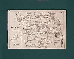
Hillsborough County, NH (Click on Old maps of New Hampshire to order)
1876 Map of Otis, Massachusetts
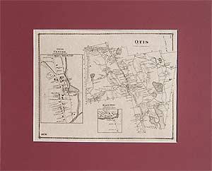
Berkshire County, MA (Click on Old maps of Massachusetts to order)
1871 Map of Acushnet
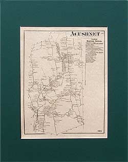
Bristol County, MA (From the Old Maps of Massachusetts page)
1873 Map of Williamsburg
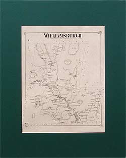
Hampshire County, MA (Order through the Old maps of Massachusetts page)
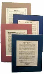
Examples of Town Descriptions, written descriptions of the towns as they were in the 1800s, excerpted from old gazetteers and county atlases
1875 Map of Stow, Massachusetts
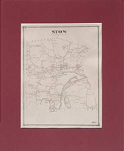
Middlesex County, MA (For more Middlesex County maps, click on the Old Maps of Massachusetts link)
1876 Map of Franklin
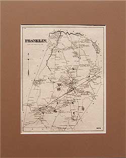
Norfolk County, MA
1874 Map of Winthrop, Massachusetts
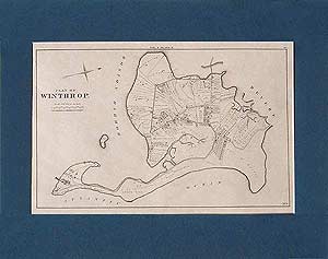
Suffolk County, MA
1870 Map of Dana and Petersham
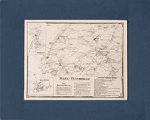
Worcester County, MA (For maps of other Lost Towns of the Quabbin, see the Old Maps of Massachusetts link)
|
 Old Maps of New England & New York